Kayaking Around Orient Point
This is the third year I've paddled with a group from Sebago Canoe Club, circumnavigating Long Island, one weekend per year. Last year, we paddled around Montauk Point (and saw dolphins!), ending near Cedar Point Park on the south fork. The year before, we started at Smith Point and made it through the Shinnecock canal and along the ocean.
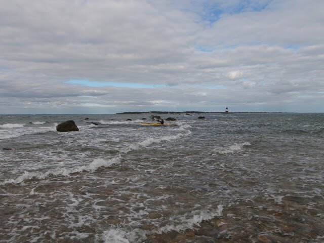
This year, due to the logistics of moving cars from the south fork to the north fork, the plan was to skip ahead a bit and put in near Orient Point, and come back individually later to make up the missed segment. However, on Friday morning, we awoke to a forecast of north winds gusting to 20 knots, meaning that we would have had strong winds from our right as we made it along the shore. This wasn't really a safety issue, as the winds were onshore and the water was very warm, but it would have made for a miserable slog and--most importantly--not much fun. So, we made the decision to instead start back at Cedar Point and paddle north into the wind in the (relatively) more protected Gardiner's Bay. We still had really choppy conditions, and through all the big chop I couldn't take my hand off the paddle to get any photos except when it calmed down a bit:
With the new plan we got to Orient Point as the current was ripping through, and we decided to call it a day. Several members of the group went out and played in the rip, as I watched jealously from the shore (I'm recovering from shoulder surgery and didn't want to take any chances).
The next morning, we launched at the low tide, and conditions at the point were much calmer.
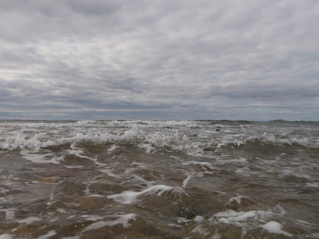
Rounding the point, though, as the tide started coming in and again with strong north winds, we got some 3-5' (my guess--I was looking up at the tops of some of the swells from the trough and my head sits about 3' above the waterline) confused seas, probably the most technical paddling of the entire trip so far. I shot this video and the pictures below in some of the easier parts (Note, I rested the camera on the deck which was at an angle--when the horizon looks flat I'm edging a lot to the right. Also note my water bag compressing due to the G forces at the bottom of the waves):
I made it through fine (actually, it was fun), but there were several capsizes. The group handled the rescues (including a beach landing) really well, and I got to practice my Wilderness First Aid hypothermia assessment training with the multi-capsize victim. After regrouping, we put in again, and the winds and tide eventually died down--and it became like a completely different day, with just beautiful, easy paddling.
We stopped for lunch right when the tide was ripping into Goldsmith's Inlet (I didn't get any photos) and we got to play around in that, which was really fun. And right when I finished my lunch, an ice cream truck showed up! We paddled on, next to the beautiful coast line, making it to Mattituck inlet.
I had rotator cuff repair surgery this spring, and wasn't able to even start paddling at all until mid July. And by the end of this long 24 mile day of paddling, my shoulder was pretty sore--Stevie, an expert instructor in the group actually could tell my shoulder was hurting just by watching me paddle.
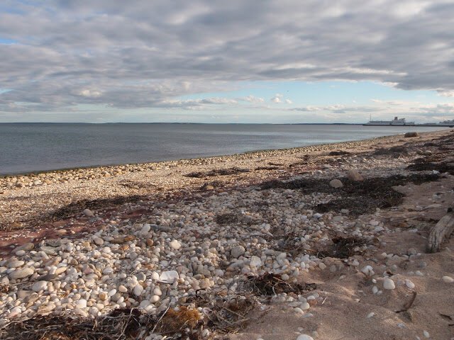
Knowing that the group was set on making big mileage on the last day, I decided to bail out, and feeling the pain in my shoulder yesterday morning, I knew that I had made the right decision. But I was sad to lose that day with the group, which made it nearly to Port Jefferson. Driving home along the shore, I caught the group from two different beaches, but they were so far off shore that you can't even make them out in the photos unless you zoom into the raw photo:
Here's approximate tracks of the first two days:
Many more pictures here, and I'm sure Bonnie will have a write up soon. I'll post better GPS tracks when I get them (I lent my GPS's to the group for the last leg).
Update
on 2011-08-06 20:49 by controlgeek
I made up the day I took off due to my shoulder problems the next weekend, my writeup here.


