Tornadic Storms in Southern Nebraska
I came down from Sioux Falls, SD to southern Nebraska yesterday. So little was happening during the day that I got my oil changed in Norfolk Nebraska. The storms finally fired up right before sunset, and two cells exploded through the cap about an hour before sunset. This one was near Fullerton, Nebraska:

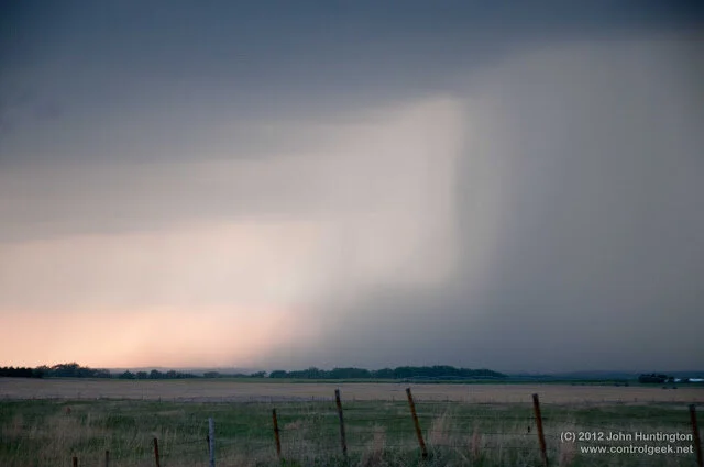
Another cell was exploding to the south:

I got a few shots:

And then I figured I'd grab some food, shoot some lightning photos, and head back to Council Bluffs, where I had booked a room:
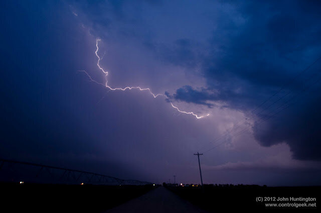

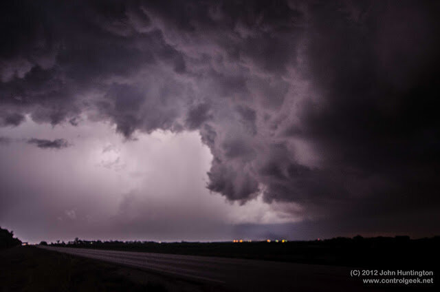
Right after I shot that photo above, the storm formed a tornado down over Shickley. Unfortunately, I was to the north and there was a wall of hail and severe winds between me and the tornado, so I had to drive way around it to the West. By the time I got down there, the storm had become tornado warned and unwarned about three times. I did see what looked like a wall cloud forming:

I moved north and then stopped to shoot a couple more photos:

I was planning to shoot north between the storms and head back, but I stayed a bit too long and the storm, though no longer tornadic, sped up, became a wall of east bound golf-balls sized hail that chased me all the way back. It finally lost its severe warning as I pulled into Council Bluffs at about 2am. At that point, I had been chasing (or chased by) this same storm since it became a blip on the radar at about 6pm. More photos (and radar screen captures) here.