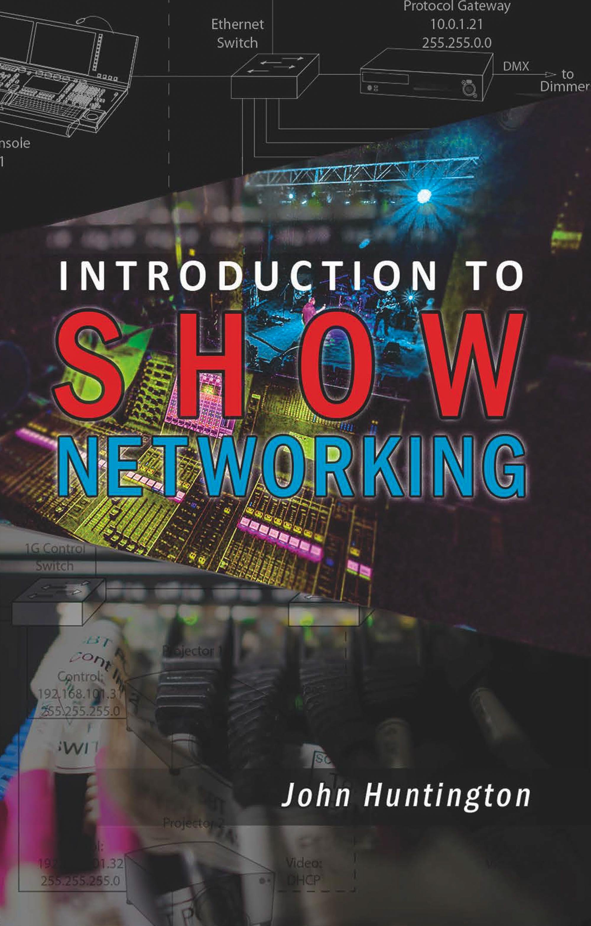
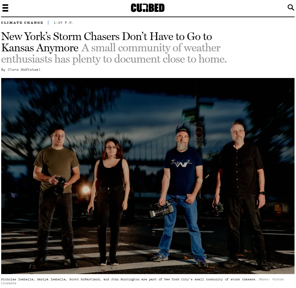
More photos here and many more to come later this week when I get home.
Tornado Photos From Rozel and Sanford, Kansas
I chased this storm on May 18, 2013 for several hours, and watched it go from just a lowering to a severe storm to these amazing tornadoes. These are the first tornadoes I've ever seen! Many more photos and videos to come when I get caught up!
These are just quick edits of the highlights, I have hundreds more and videos too! I'll get them posted soon...
Update 5/19: Video posted here.
Progress in Outdoor Stage Structure Standard Draft

I've written a lot about weather and outdoor shows and the recent tragedies (I have a whole category set up for those posts, in fact), and submitted a comment during the last public review of the Professional Lighting and Sound Association (PLASA) draft standard BSR E1.21 - 201x, Entertainment Technology — Temporary Ground-Supported Structures Used to Cover the Stage Areas and Support Equipment in the Production of Outdoor Entertainment Events. (Incidentally, as of today you can now download the current standard for free here!).
My comment contributed to the following language (tweaked and enhanced by the standards task group) in the current public review document:
5.3.5.5 The [Operations Management Plan] OMP shall include environmental monitoring procedures.
5.3.5.5.1 Active on-site wind speed monitoring shall be maintained for the entire period the structure is assembled. Weather stations with anemometers shall be used on site to monitor wind. They shall be placed at an elevation within 5 ft. of the highest elevation production element and clear of any components of the structure that might shield it from the wind. Wind speed monitoring shall be recorded on site at regular intervals and during any significant environmental event.
5.3.5.5.2 The weather and wind forecast for the stage location shall be continuously monitored by the user’s designated person. A regular liaison shall be maintained with a qualified meteorologist, a local airport or other weather information center to ascertain if any significant weather events are expected in the immediate vicinity of the temporary structures.
5.3.5.5.3 When a severe thunderstorm, tornado or other warning indicating severe conditions for the site is issued by the local National Weather Service office, critical actions will immediately be taken to make the stage area safe for all personnel, guests, and performers consistent with the established OMP.
While there is considerable debate about the engineering and design issues regarding these structures, my general point has always been that winds exist (tornado, for example) that can take down just about any practical structure, so these operational issues are really critical. So I think this is progress. The document is out for public review until May 28th. Anyone can comment on the document, and the task group must review and respond to all comments.
New York National Weather Service Facebook Photo Contest-I Won!
My photo is now the cover page for the National Weather Service NY Forecast office FB Page:
Here's a cleaner version (the Facebook photo compression is terrible):

More photos here.
First NYC Thunderstorm of 2013!
It's the first real thunderstorm of 2013 for NYC, and the first with my new Nikon D600 setup! Got a little shelf cloud out in front of the storm too:
More photos here.
Update 4/11: Welcome Gothamist readers!
Last Snow Time Lapse of The Season (I Hope)
Time lapse of snow falling and melting on a Brooklyn rooftop, March 7-9, 2013. One frame every two minutes, starting around 6:30am. Many more time lapses here.
Welcome Gothamist readers!
US Event Safety Alliance Document in Public Review

Anyone who follows this blog knows that I've written a lot of about event safety, especially regarding weather and its impacts (I have a blog tag category here). The Event Safety Alliance has now released a draft Event Safety Guide for public review based on a European document. PLASA is behind the effort, so I hope you will take the time to take a look. You have to give them your name and email to download the document, but it only takes a couple minutes. Comments are due August 15, 2013; download your copy here.
Snow Falling and Melting over Brooklyn
I posted the snow falling time lapse video last week, but with my network-based, weatherproof time lapse setup I'm able to extract the frames, make a time lapse, and keep shooting. So I let it run a couple extra days until the snow melted off:
Snow Storm Time Lapse
I was up in Vermont skiing, so I wasn't able to clear the camera off after it drifted over. The lens was about 2' off the ground. This starts at about 6am Friday February 8th:
UPDATE: I have an updated time lapse including all the melting here.
Superstorm Sandy's Old Inlet Breach on Fire Island
Superstorm Sandy overwashed Fire Island in many places, and breached the island in at least two spots. One breach, in Smith Point County Park, has already been filled, but the other one took place inside the National Park Service Otis Pike wilderness area at the "old inlet", and it's been left, at least for now. (There's some talk about filling it in, homeowners west of the breach used to be able to drive down the beach during the winter, but no more). The park service has some great info here, and Charles Flagg of Stony Brook has a great write up here (PDF). Here's before and after aerial photos from the Park Service;


Here's my photos from today. This first one is looking west across the breach:
This is the overwash adjacent to the breach:
This dock used to connect to a boardwalk over the dunes;
More photos here.


